/Headlines
See every vessel.
One live picture.
Your way to verify a contact in seconds instead of minutes.
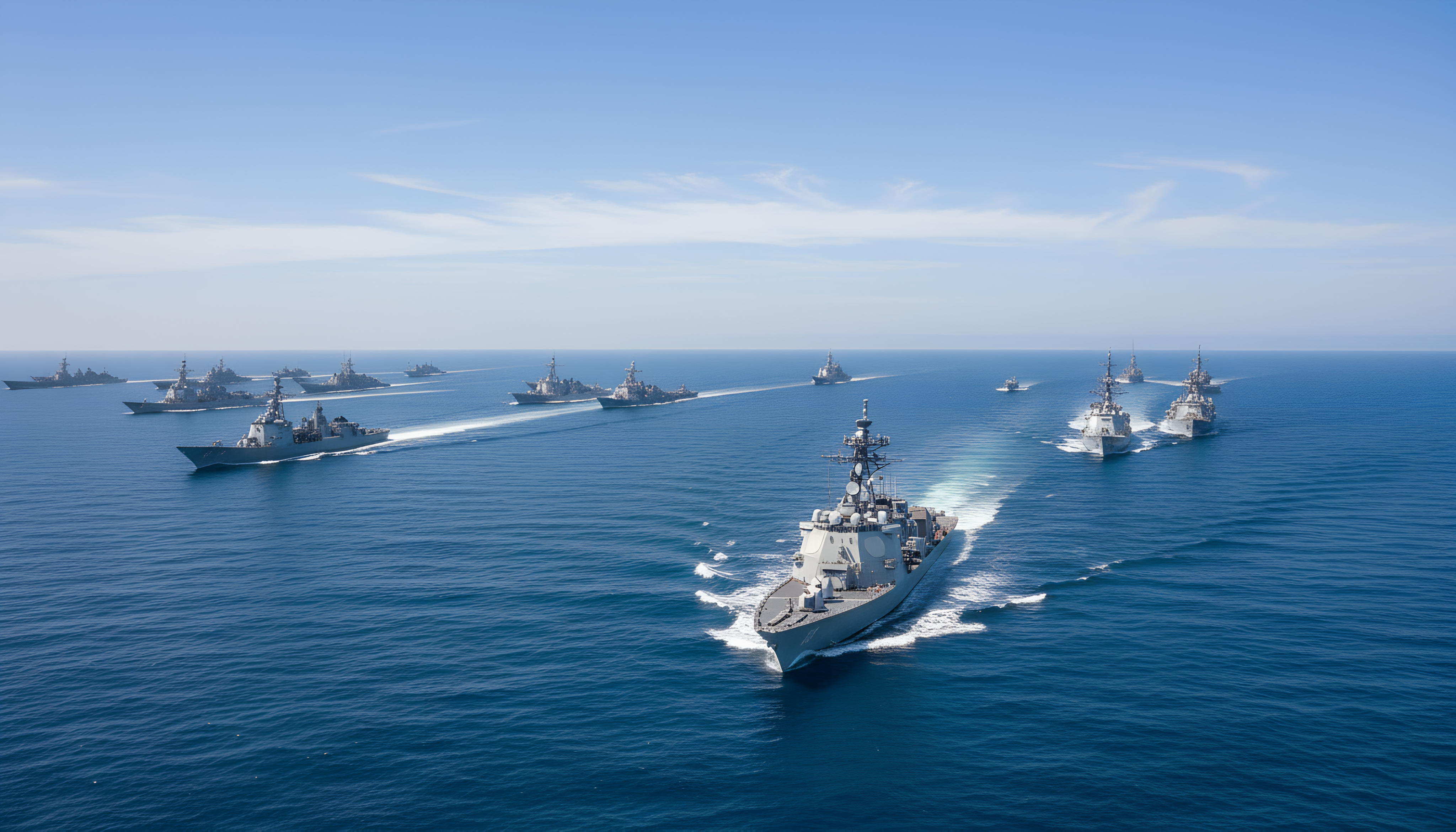

AIS signals
0K+
Vessels in active track
0K+
Ports under watch
0.0K+
Stations & live streams
0.0K+
UNIFIED MARITIME COMMAND & CONTROL
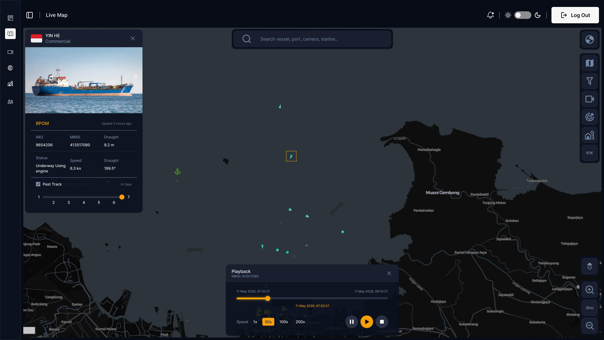
ELCAS fuses coastal radar, global AIS, EO/IR optics and UAV telemetry into one track picture. The correlation engine reconciles returns from every sensor into a single track identity, resolving conflicts and spoofed AIS before an operator ever sees them.
Operators slew a camera onto any contact directly from the map, visual confirmation in one click, day or night. Confirmed tracks, imagery and full timeline replay hand off to external C2 systems over standard interfaces, across 1.5K+ sensors and live streams on the same layer.
/Capabilities
From detection to decisive action.
/Fields_of_Application
Unified command and control across every operational domain.

Border Security

Search & Rescue

Air Surveillance

Seaport Surveillance

Fire Brigade Support

Homeland & Industrial
Border Security
Coastal and land border surveillance, anti-smuggling and anti-terrorism.
Search & Rescue
Locating persons and vessels in distress, day or night, in poor visibility.
Air Surveillance
Detection and visual identification of aerial contacts and UAV activity.
Seaport Surveillance
Perimeter and approach monitoring for port and terminal infrastructure.
Fire Brigade Support
Fire support with target location information and thermal hotspot detection.
Homeland & Industrial
Critical infrastructure protection and industrial site security.
Also deployed for other field, for battlefield surveillance and reconnaissance, critical infrastructure protection, and fire support with target location information.
/How
From raw signal to decisive action.
Four stages, one pipeline. The hardware does not change, what changes is how long it takes to trust what you are looking at.


C2
/Integrated_Solutions
Three parts, one system.
Unified C2 Platform
A combat-proven maritime dashboard. Fuses global AIS, coastal radar and live sensor data into a single real-time tactical map.
Thermal Camera Integration
Interoperable with our cooled and uncooled optics. Pierces adverse weather and total darkness for instant visual verification.
AI-Powered Target Tracking
Lock onto designated targets directly from the C2 interface, with the track following the contact as it moves.
/The_Difference
Same incident. Same sensors. Four things change.
The hardware on the coastline does not change when ELCAS is installed. What changes is how many places an operator has to look, and how much of the night survives as a record.
Consoles to watch
Radar, AIS, camera and chart resolve into one surface.
Steps to slew a camera
Click the track. The nearest camera takes the bearing.
Places to re-key a track
Hand-off runs over standard interfaces, not retyping.
Days of track history
Any timestamp in the window is replayable.
/Technology
Hardware built for the picture it feeds.
Military-grade optical systems and thermal cores, all reporting into the same operating picture.


/Contact
Ask for the capability brief.
Tell us the domain and the gap you are trying to close. We reply with the brief, the interface list, and an engineer on the call. Not a sales deck.
PT. Elcarim Optronic Indonesia
Kirana Boutique Office Blok F3 No.3, Kelapa Gading, Jakarta 14240
 S